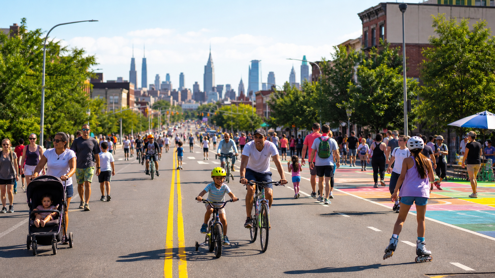
New York City’s Summer Streets program is taking over selected routes in Queens and Staten Island today, Saturday, July 25, giving residents and visitors space to walk, run, cycle and take part in free activities without normal through traffic. The citywide program is organized by the Department of Transportation and expands to different boroughs on scheduled summer dates.
NYC DOT’s official information identifies July 25 programming in Long Island City and Astoria in Queens, along with a Staten Island route. People heading to either event should check the borough-specific community flyer before leaving because street access, parking restrictions and cross-street arrangements vary by location.
What visitors can expect
Summer Streets is more than a road closure. The program turns temporary car-free corridors into public space for movement, community programming and art. City materials describe fitness and running activities, dance inspired by New York street styles, interactive art and family-friendly programming. Participation is generally free, although individual activities may have capacity limits.
The strongest reason to attend is flexibility: visitors can enter for part of the route rather than treating the program as a single start-to-finish race. Walking, bicycles, scooters and mobility devices share the corridor, so slower users should keep predictable lines and faster riders should reduce speed near activity zones and families.
Travel and street-closure planning
Drivers should expect temporary closures, parking restrictions and possible bus reroutes near the event corridors. Do not rely on an old social post or last year’s map. Use the current NYC DOT community notices for the precise route and the MTA’s live service-status page before traveling. Subway work and unplanned disruptions can change the best station or transfer.
Cyclists should bring a lock, water and basic repair supplies. Families should agree on a meeting point in case they become separated. Summer weather can also change quickly, so check the National Weather Service forecast and current air-quality information. Event schedules may be adjusted for unsafe conditions.
How to get reliable updates
NYC DOT is the primary source for the event route, hours and access rules. Notify NYC provides official emergency and service alerts, while the MTA provides current subway and bus status. The city’s Find an Event tool can help locate additional public events by borough and date.
Search interest around “NYC Summer Streets today,” “Queens street closures” and “free things to do in NYC” is likely to be high because the information is immediately useful. The practical takeaway is simple: confirm the current map, use transit where possible, carry water and leave extra travel time around the affected streets.